Notion template · hiking & backpacking
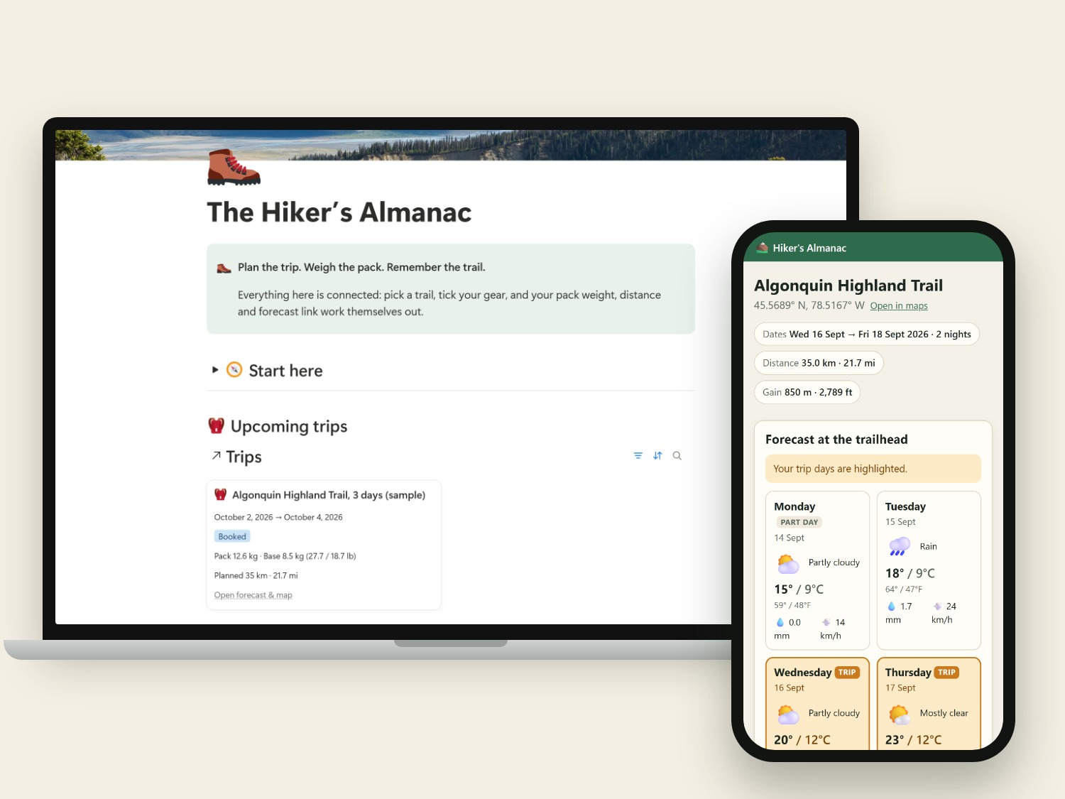
The Hiker's Almanac
Plan the trip. Weigh the pack. Remember the trail.

Notion templates and free tools for the outdoors. Each almanac is a template you copy into your own Notion, and it works on Notion's free plan.
Notion template · hiking & backpacking
Plan the trip. Weigh the pack. Remember the trail.
Notion template · lakes, rivers & ice
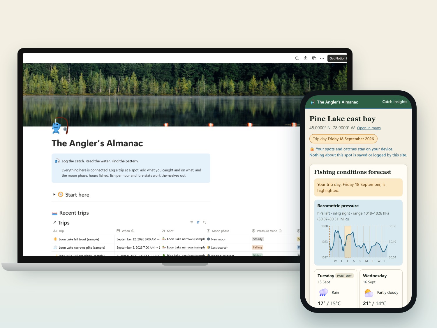
Log the catch. Read the water. Keep your spots.
Notion template · deer, bear & birds
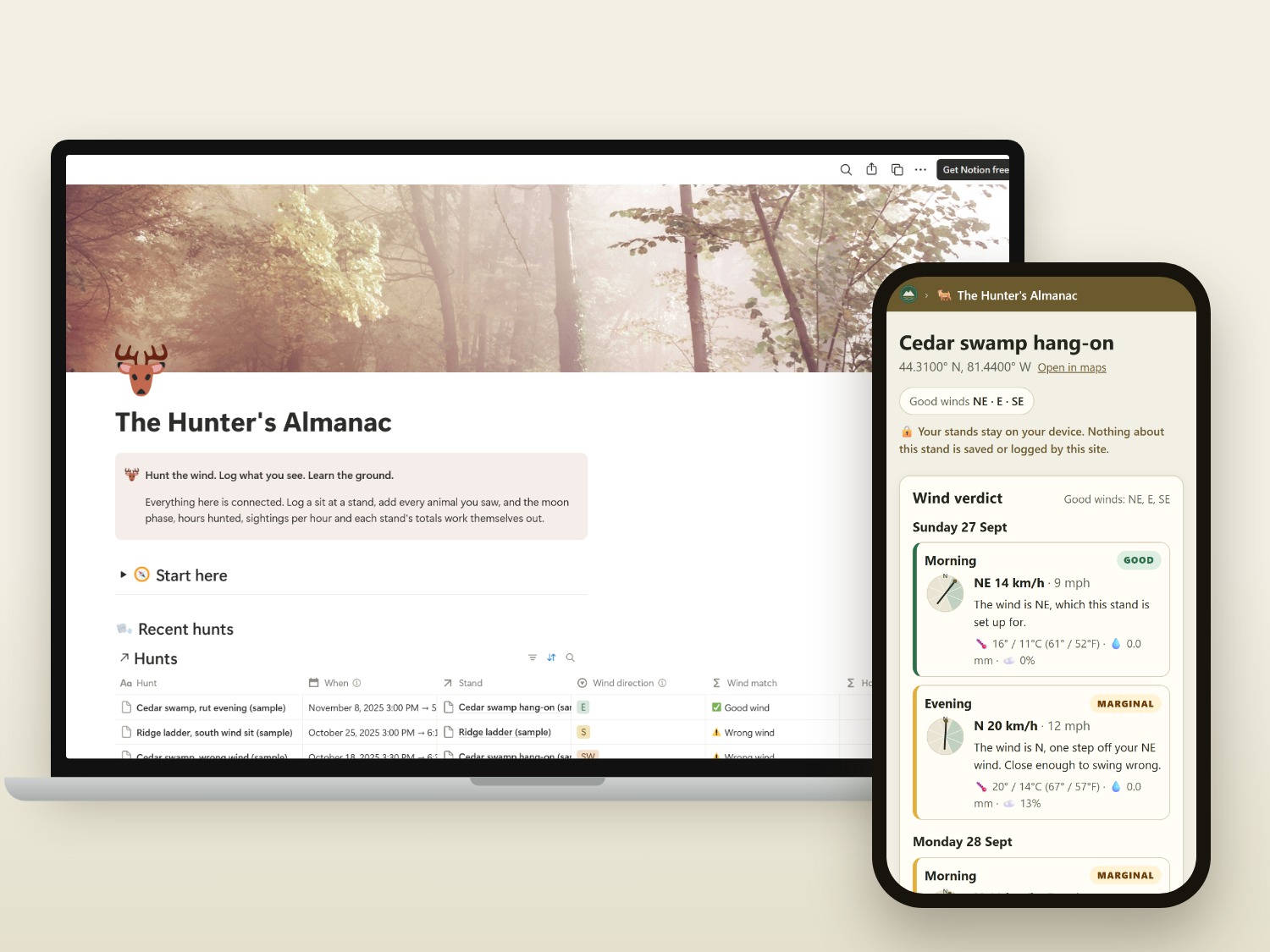
Hunt the wind. Log what you see. Learn the ground.
Notion template · wild food & patches
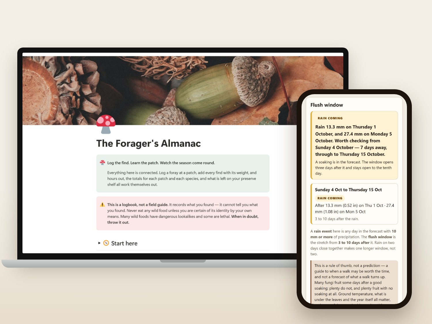
Log the find. Learn the patch. Watch the season come round.
Notion template · canoe, kayak & SUP
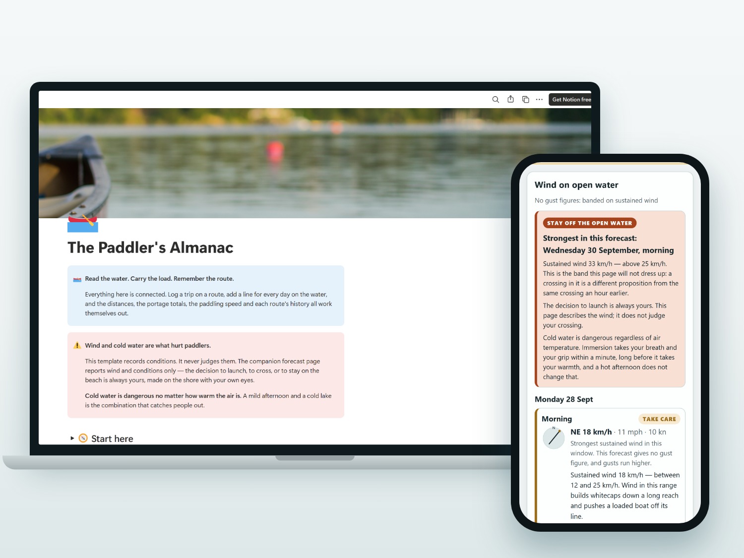
Read the wind. Log the miles. Learn the water.
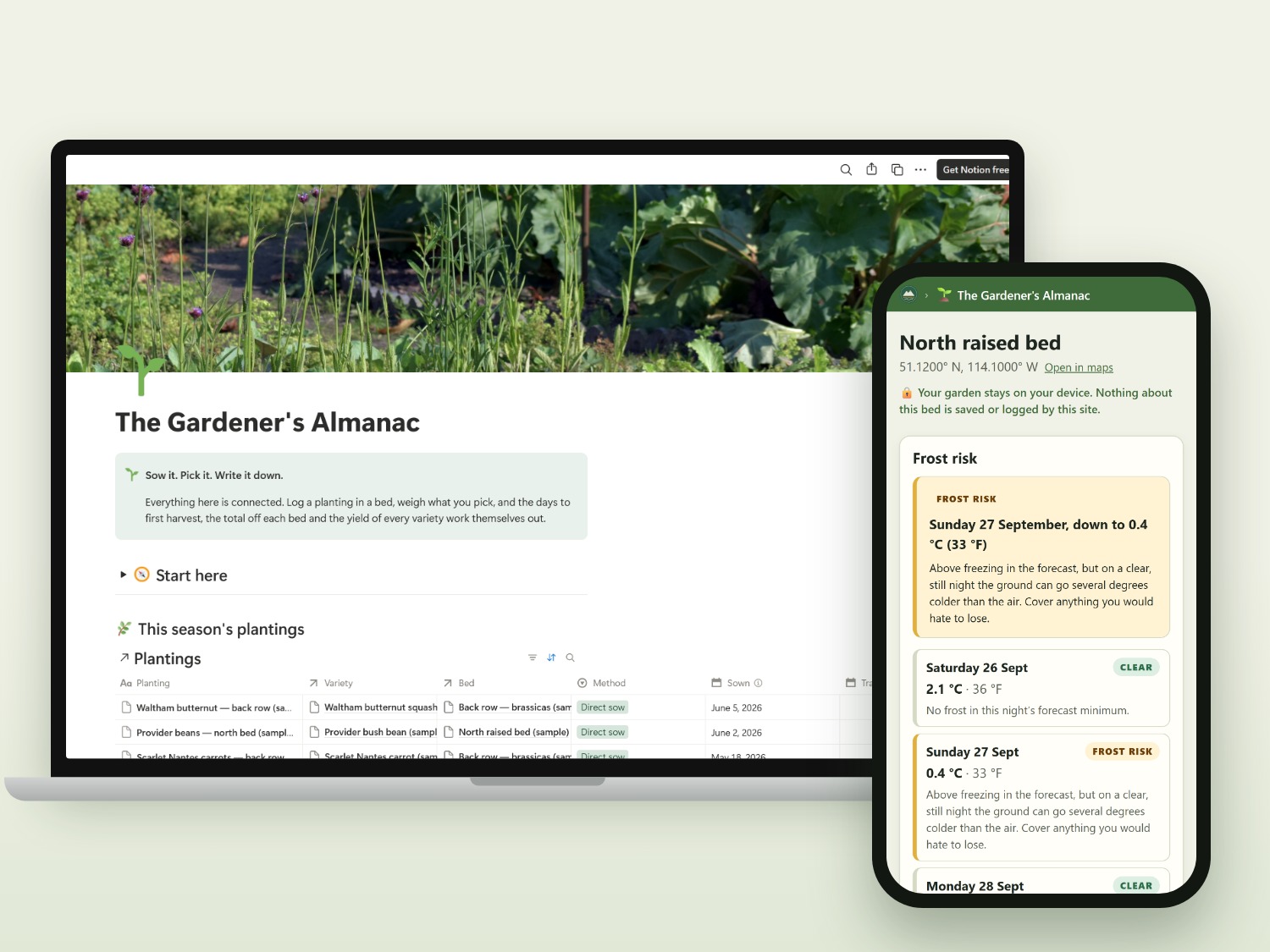
Notion template · beds, seeds & harvests
Sow it, track it, and know what actually grew.
Each almanac opens these pages from inside Notion. There is no app to install and no account to create, and you can try each one with sample data.
The Hiker's Almanac
Up to 9 days of forecast for a trailhead and a topo map. Load a GPX file to see the route with its distance, gain, loss and elevation profile. The file is read in your browser and never uploaded.
Open the sample trailThe Angler's Almanac
Up to 9 days of forecast for a spot: temperature, wind and direction, cloud, rain and barometric pressure marked Rising, Steady or Falling, with sun, moon and solunar times and a map.
Open the sample spotThe Angler's Almanac
Load the Catches export from your Notion template to chart lures, colours, hours, moon phases, pressure trends and water temperatures. The file is read in your browser and never uploaded.
See sample insightsThe Hunter's Almanac
Up to 9 days for a stand, split into mornings and evenings: whether the wind is Good, Marginal or Wrong for the winds that stand works on, with temperature, rain, the pressure trend, sun and moon times and a map.
Open the sample standThe Forager's Almanac
Up to 9 days for a patch, led by the flush window: a day with 10 mm or more of rain opens a stretch from 3 to 10 days after it, said as a rule of thumb and never as a prediction. With the next frost, the day length and its direction, and a map. A logbook page, not a field guide — it identifies nothing.
Open the sample patchThe Paddler's Almanac
Up to 9 days for a put-in, split into mornings and evenings, led by the wind on open water: calm under 12 km/h, take care from 12 to 25 km/h, and above 25 km/h stay off the open water, taken from the gust where the forecast gives one. With air temperature, rain, sunrise, sunset, daylight and a map. It reports conditions; the decision to launch is always the paddler's, and cold water is dangerous regardless of air temperature.
Open the sample routeThe Gardener's Almanac
Up to 9 days for a garden bed, led by the next frost in the window: each night's low with a hard frost, frost or frost-risk verdict, plus daylight length and direction, growing degree days and a map.
Open the sample bedThe sample trail, spot, catch log, stand, patch, route and bed are synthetic, for demonstration only. Not for navigation.
The Paddler's Almanac reports conditions and never judges a crossing. The decision to launch is always the paddler's, cold water is dangerous regardless of air temperature, and personal flotation devices, required equipment and launch rules are set by your own jurisdiction — nothing here states any of them.
The Forager's Almanac is a logbook, not a field guide. Nothing here identifies wild food or says that any of it is safe to eat — never eat any wild food unless you are certain of its identity by your own means.
Your trips, spots, catches, stands, patches, put-ins and beds stay on your device and in your own Notion. The free tools
have no accounts and no tracking, and they never store or log coordinates. GPX files and catch logs are read in
your browser and never uploaded. A forager's patches are the sharpest case of this, so the patch page goes
further: it is noindex, it sends no referrer, and the coordinates in its address reach only MET
Norway for the forecast and Esri for the map tiles.